East Athabasca Basin Projects
Bird Lake
key highlights
LOCATION
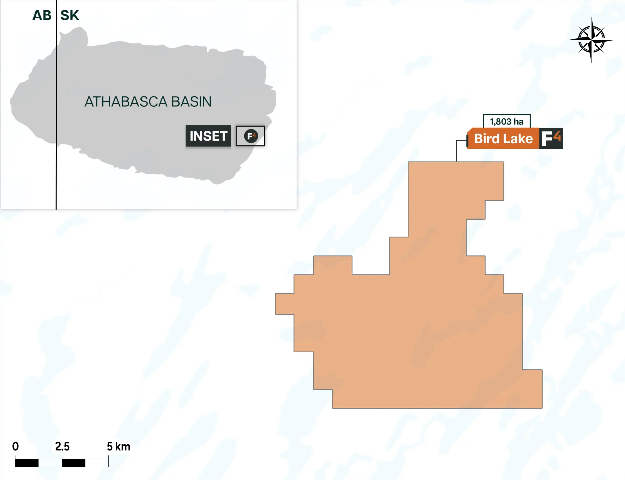
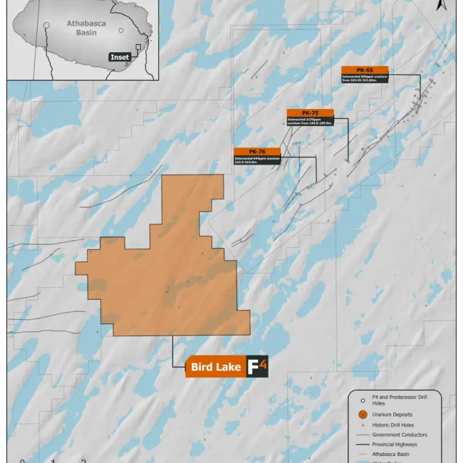
Located 33km northeast of the McArthur River uranium mine and 60km south of the McClean Lake Mine site, The Bird Lake Property comprises 1 mineral claim with an area of 1,803 ha. Bird Lake overlies a northeast trending regional magnetic low that occurs within favorable Wollaston domain lithologies and is associated with the prospective Bird Lake fault system, a large scale thrust fault with offset of up to 50m and overlain by approximately 150m of Athabasca Sandstone.
GEOPHYSICS
In 2022 F3 Uranium Corp. conducted a small 17km of ground DC Resistivity and Small Moving Loop Time Domain EM geophysics program over historic airborne geophysical targets on the NE and SW corners of the property. No sub-vertical conductor responses were detected.
DRILLING
Approximately 4km to the NE of the Bird Lake property Cameco and Denison drilled 5 holes in 2008 along the Bird Lake Fault, the best being hole PK-75 which had a max of 2680 CPS on a handheld scintillometer and 3170 ppm U at 165m. F3’s claims lie along strike of the Bird Lake Fault system. In 2015, 2 holes drilled by Denison on the property (BB-14-01 and BB-14-02) intersected intensive faulting and brecciated clay rich gouge in the basement which was interpreted to be related to the Bird Lake Fault indicating the fault system likely continues on the property despite no conductor responses being identified by recent geophysics.


